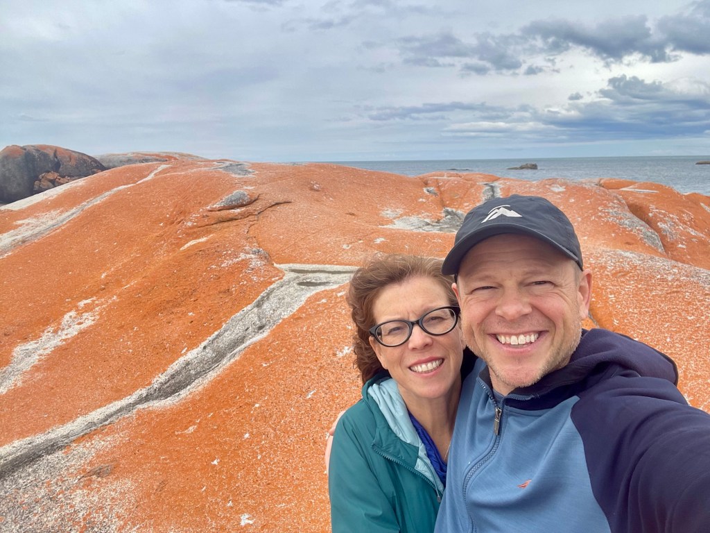
We started November 17 by driving from Launceston to the northeast coast of Tasmania, where our plan was to explore an area known as the Bay of Fires.

The region is riddled with charming coves, with crystal-clear water and worn rocks covered in red lichen.
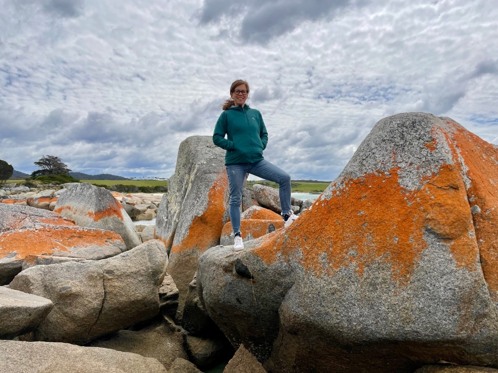
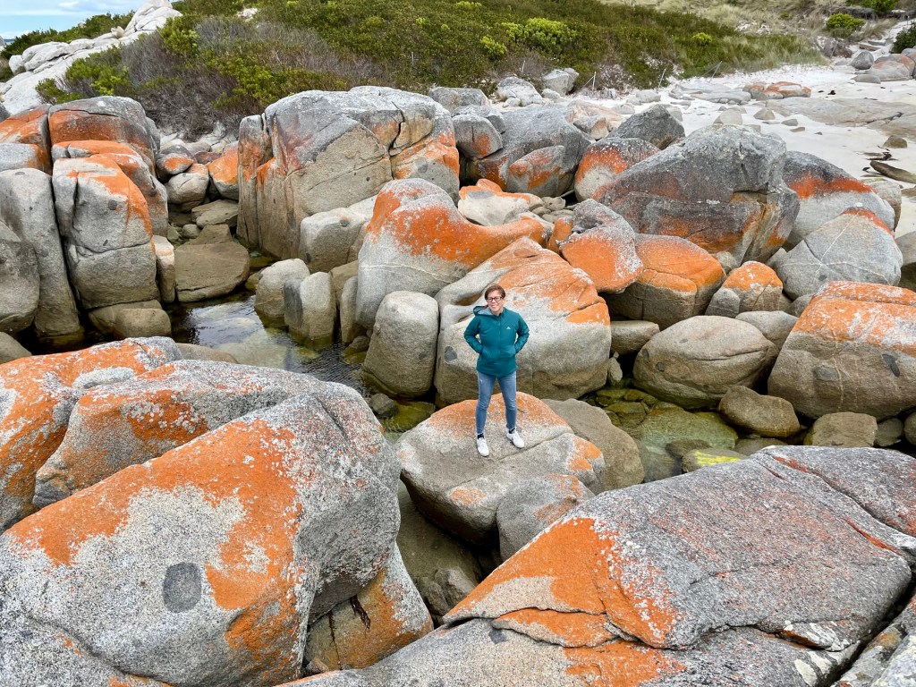
We started by exploring the Gardens, a spot with some wonderfully misshapen rocks.
The tidal pools in the Gardens were also fun to explore, as they were filled with seaweed, mussels, and small fish.
From the Gardens we drove south to Skeleton Point, where we hiked for about an hour on trails and more rocks.
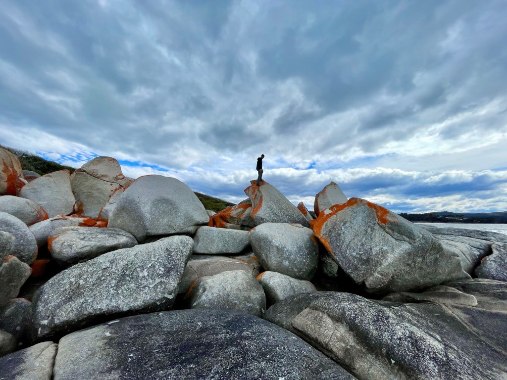
Truth be told, I’m kind of proud that neither Julie nor I strained, sprained, or broke anything. The rocks and cliffs were massive.
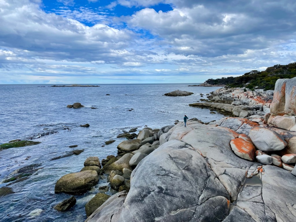
Fortunately, the rocks weren’t slippery, and we had good boots, making our rock-hopping safe-ish.
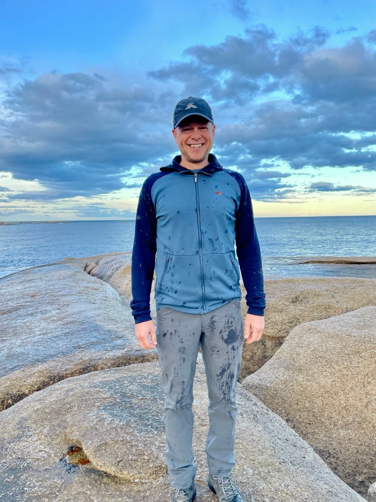
From the Bay of Fires, we drove further south to Bicheno, where we’d be staying for the next couple of nights. We dropped our stuff, had dinner, ate too much, and decided to go for a short walk. Only five minutes from our house there was a blowhole, where a crack in the rocks channel the water into a small space where the water then spurts up up into the air. We went to check it out.
I was pretty sure that had a good sense of where the blowhole sprayed, both the direction and the distance. Nope.
I got a little wet.
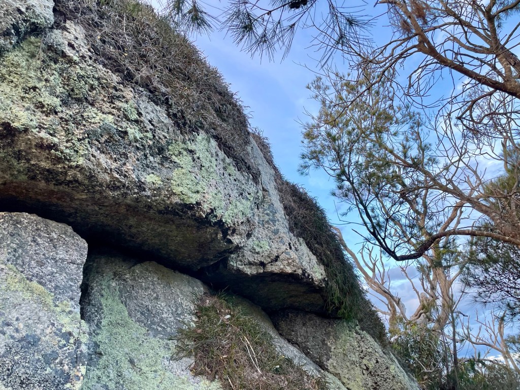
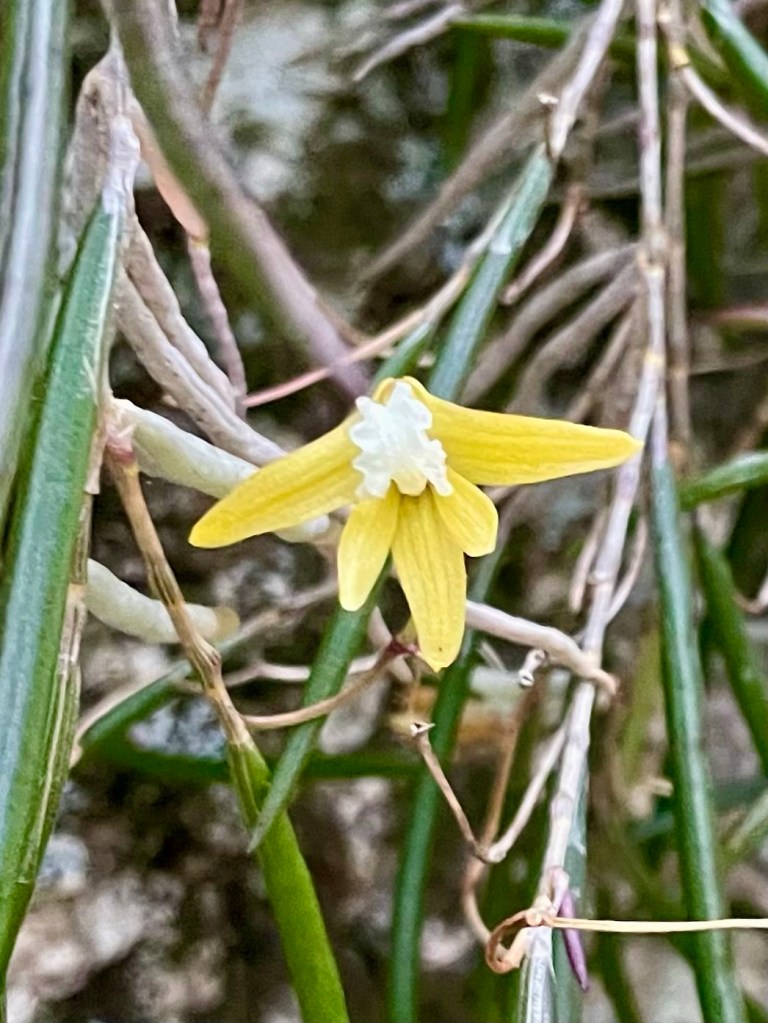
From the blowhole we decided to walk up to a nearby lookout rock. Along the way, we saw a few wallabies like those we’d seen in Cradle Mountain. Near the top, we found huge boulders covered in patches of wild rock orchids.
Many of the orchids were blooming!
We walked through the small town of Bicheno, following a path along the water back to our house. The next day we drove about 45 minutes south to the Freycinet Peninsula, where there is a large wilderness area. Our plan was to do a 7.5-mile loop trail that would take us to two huge beaches on either side of a shallow isthmus, including the locally famous Wineglass Beach.
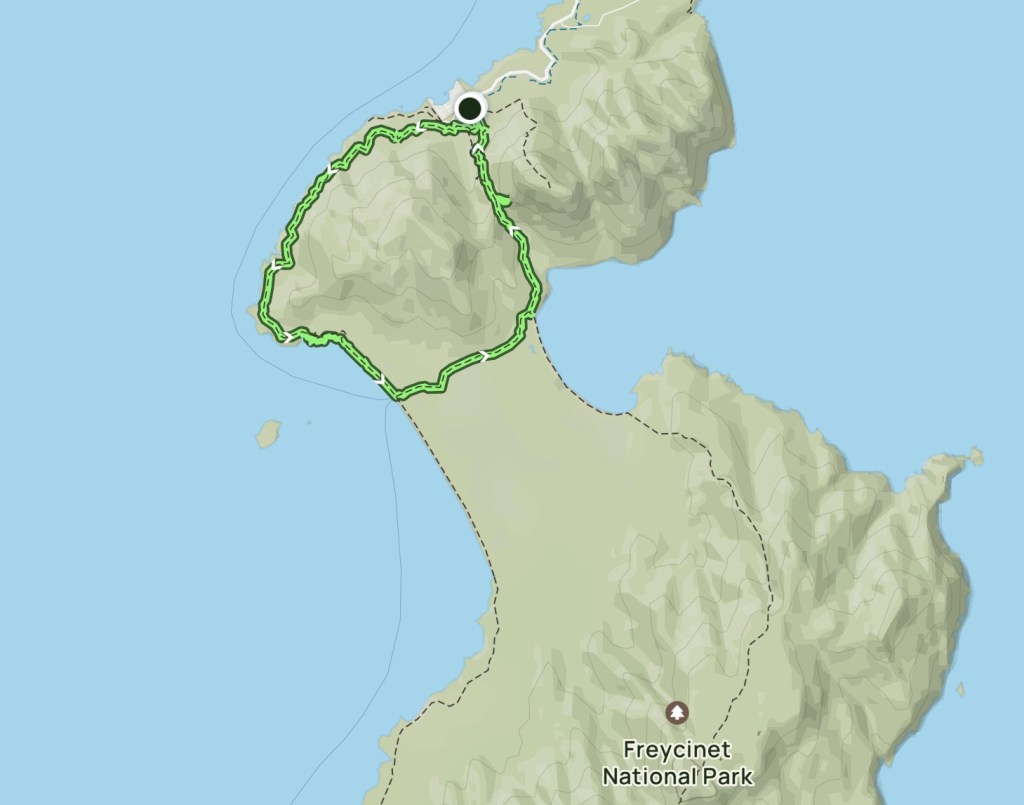
The trail started relatively flat, passing through sandy scrub brush.
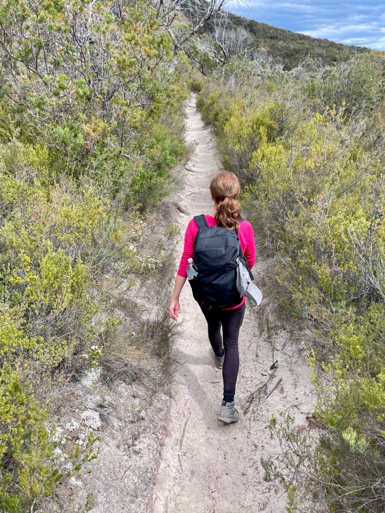
After about 3 miles, we spotted a small beach down a spur trail and went to check it out. After hiking for a few minutes, we reached a secluded beach with turquoise water.
From here we decided to scramble on the rocks for a bit rather than return to the trail.
Along the way, we explored tidal pools.

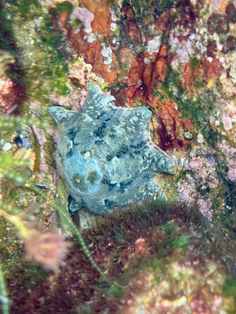
In the water we spotted what might have been a cushion star (according to ChatGPT).
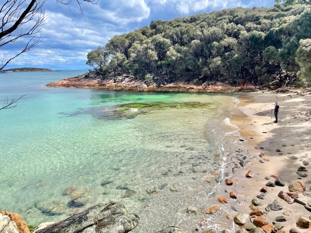
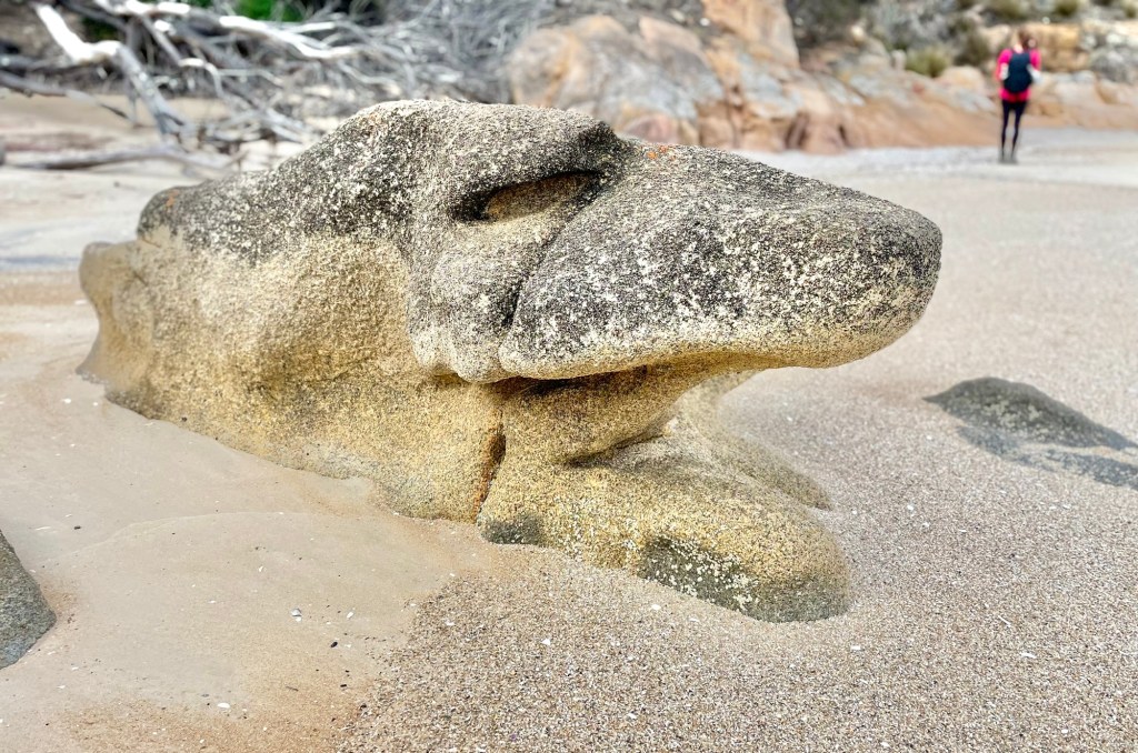
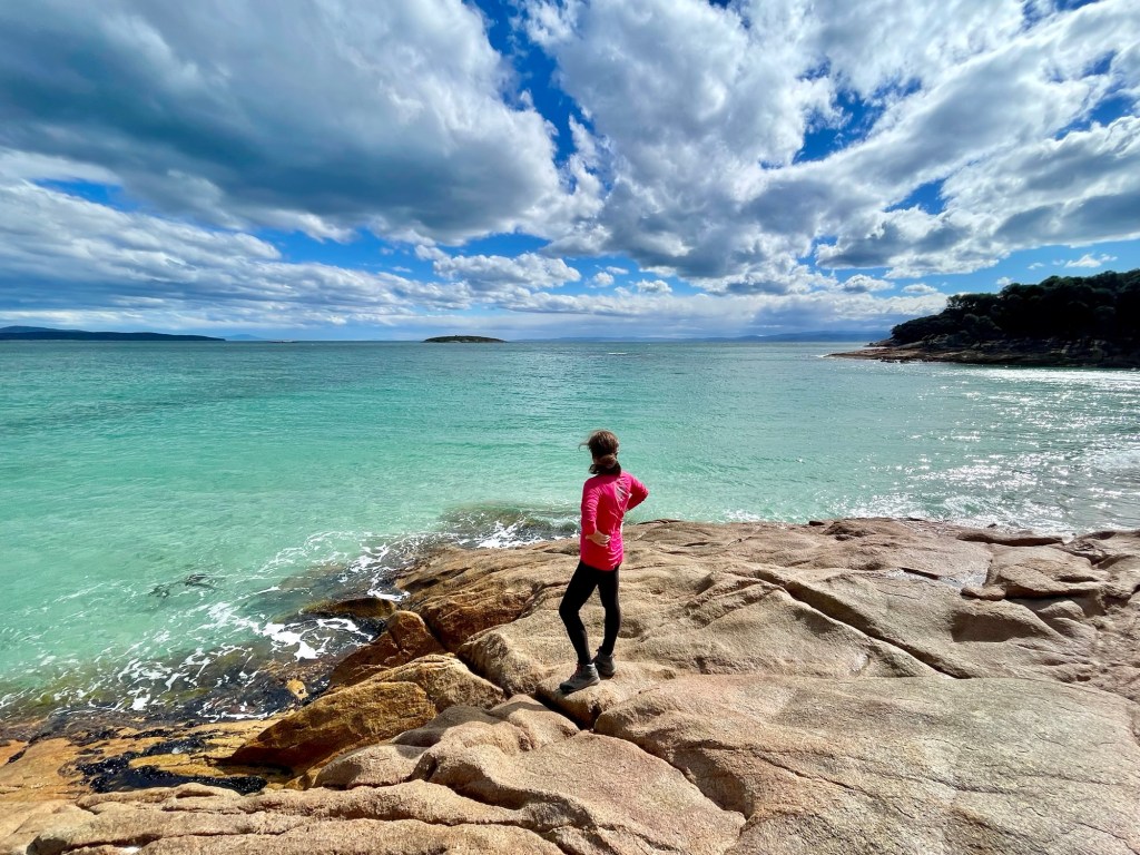
We continued down the coast, climbing rocky shores to reach small beaches with bizarre rock shapes.
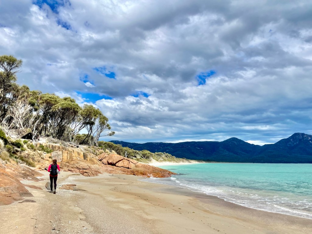
In the distance we could see our next destination, the much longer Hazard Beach.
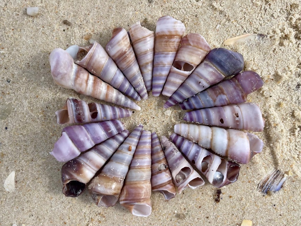
We were making good time, so we slowed a bit to look at the many beautiful shells scattered on the beach.
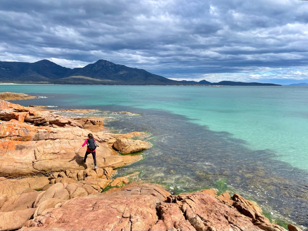
Crossing the last stretch of rock, we had great views back toward the large bay between the Freycinet Peninsula and mainland Tasmania.
Climbing down from the rocks we reached the expanses of Hazard Beach.
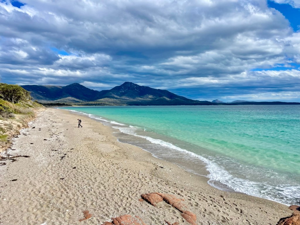
The trail took us down the beach for about half of a mile before crossing inland for a mile. As we crosssed a large isthmus, we passed by inland marshes and bumped into a couple of wallabies. We soon reached Wineglass Beach. The trail then started to rise steeply. We didn’t count, but a sign at the top claimed that the trail included 1,000 steps.
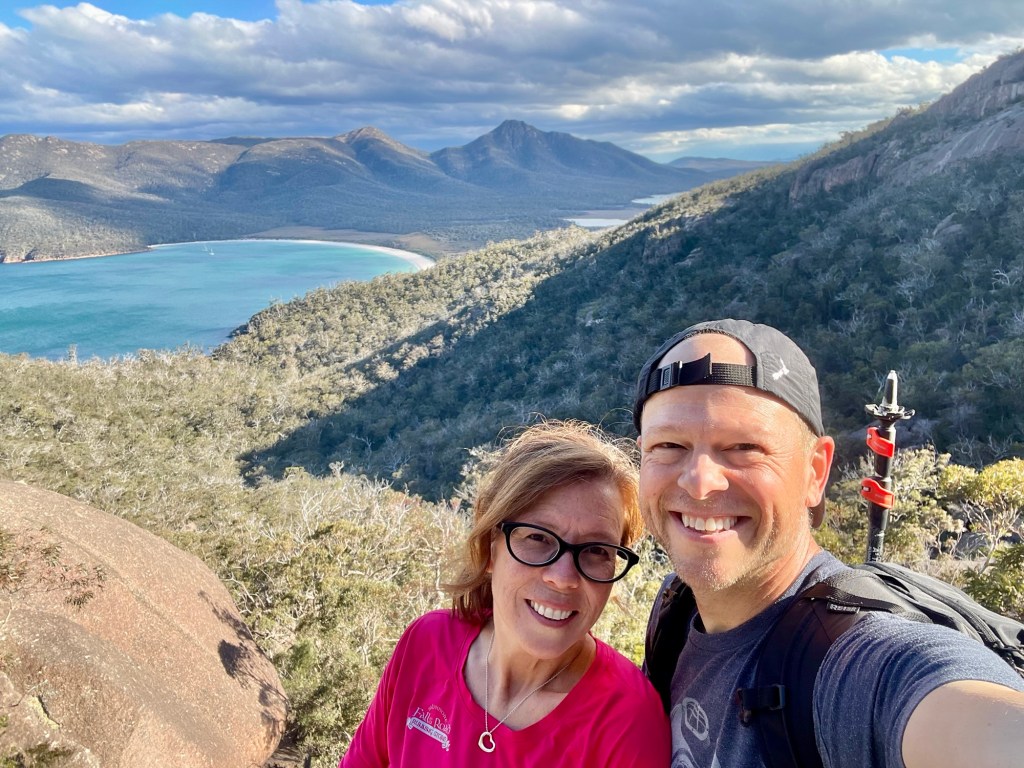
We were eventually rewarded with views back towards Wineglass Beach. The viewing platform had a one-way path, suggesting that this area gets very crowded, but we were delighted to be all alone.
It was another beautiful hike, with tons of natural beauty, great weather, and no crowds. Here’s to shoulder season in Tasmania!
-Will

I LOVE your blog Will! So good. Photos are fab. I’m thrilled you two get an incredible adventure. You both look healthy and happy. Hugs. Miss you both lots.
LikeLike
I’m so glad to hear it! We are having an amazing time. Can’t wait to see you soon. We’re back in December!
LikeLike